Mt. Everest Base Camp Trek
Oct 7~25 2008
Mount Everest Base Camp Trek
The Hike
Published on 9-Dec-2009 by Ray Fried
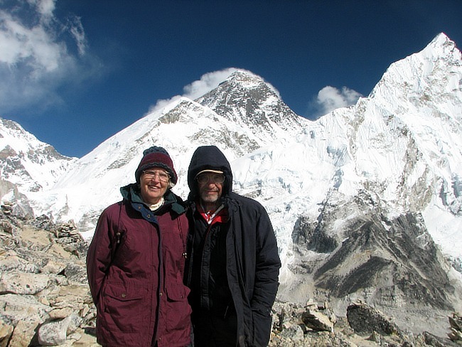
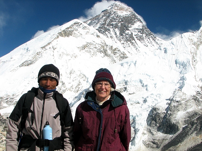
Twyla and Ray along with our friend and guide Shakti Tamang had the opportunity to trek from Jiri Nepal up to a point above the Everest Base Camp and then back to the Lukla airstrip where we took a flight back to Kathmandu. The trip took us 19 days over which we hiked 146 miles to a maximum elevation of 18,456 feet.
There are two good hiking periods of the year and this was one of them. In reality it was the only time that we could do the trek as the school we were teaching at (Mount Valley Academy) had a month vacation at this time. We encountered rain during the first part of the trip but once we reached the higher elevations it was mostly "Blue Sky" all the way.
Accommodations
We were able to stay in "hotels" along the way thus eliminating the need to carry a tent and sleeping bags. Restaurants were plentiful too which eliminated the need to carry food and cooking supplies. We used a backpacking water filter for drinking water. Basically our back packs were full of clothing for the higher elevations and a few snacks.
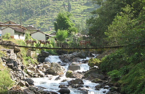
The First 45 Miles
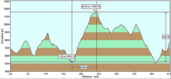 The first 45 miles took us 8 days as we
started from Jiri (elevation 6800 feet) and traveled
almost due west. The real problem was there were many ups and downs. The graph above is a
download from our GPS receiver and is an accurate indicator of distance and elevation.
In one section we gained
almost 6,400 feet in 7 miles. This was a real test to see if we could take the higher elevations(
11,500 feet).
The first 45 miles took us 8 days as we
started from Jiri (elevation 6800 feet) and traveled
almost due west. The real problem was there were many ups and downs. The graph above is a
download from our GPS receiver and is an accurate indicator of distance and elevation.
In one section we gained
almost 6,400 feet in 7 miles. This was a real test to see if we could take the higher elevations(
11,500 feet).
Photo Viewer
This was a trip that a really good camera would have been nice to have. Actually, a good number of people carried some really expensive hardware. You can view pictures that I took with my Cannon S2IS by just clicking on any thumbnail below. Choose any thumbnail as a starting point. Then you can either press "N" for the next photo or "P" for the previous picture. If you place your mouse near the upper left or right of each expanded picture, you can also navigate by clicking on Prev or Next. When finished, click on "CloseX".


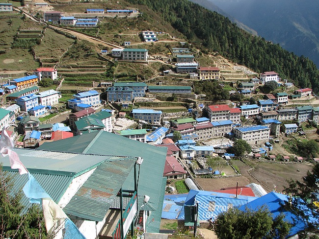
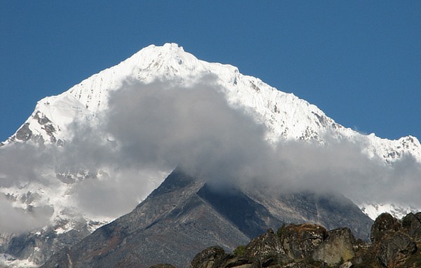
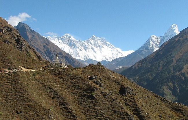
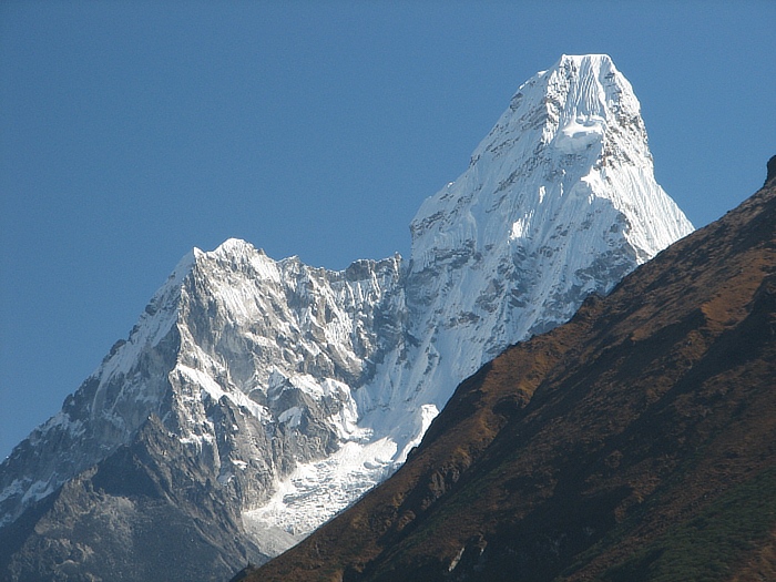
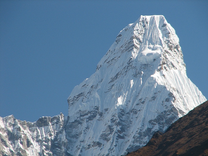


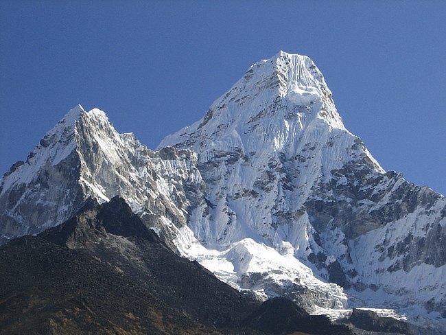
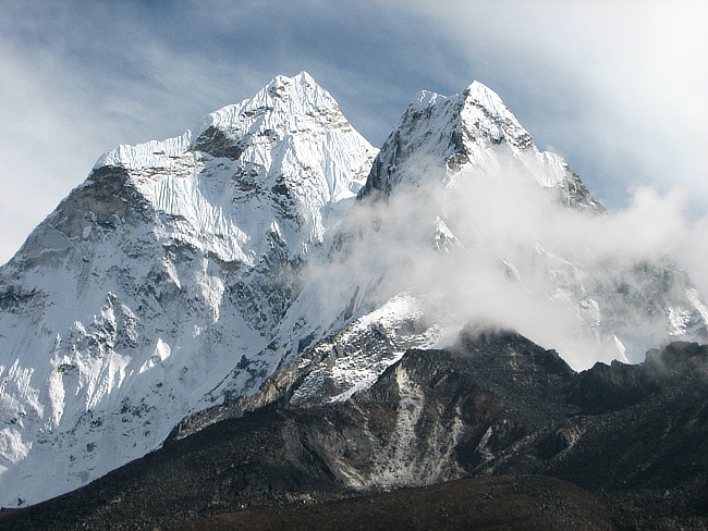

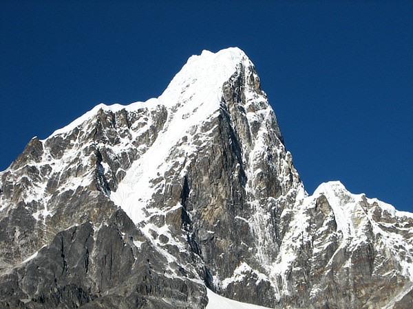
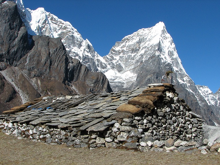


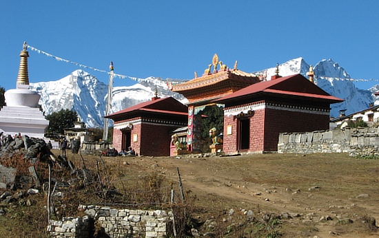
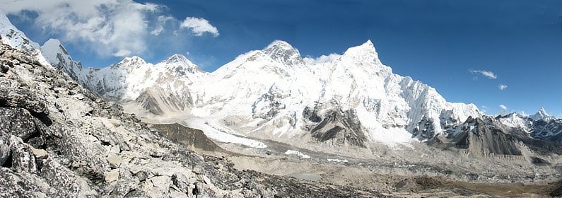
Sagarmatha National Park
Published on 9-Dec-2009 by Ray Fried
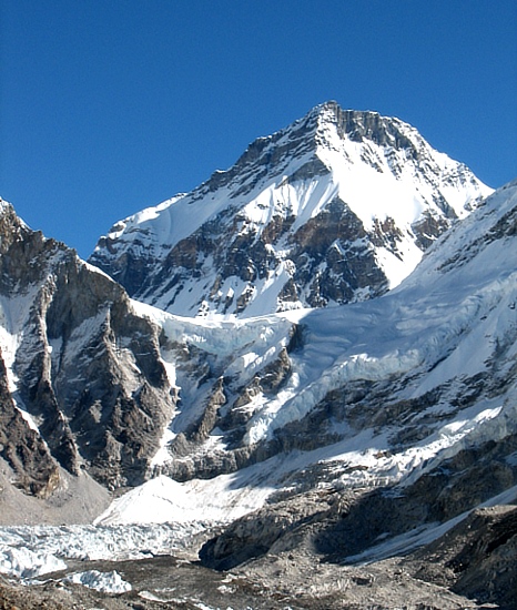
We entered the "Out Of This World" scenery at Namche. This is where the Sagarmatha National Park starts. The above photo includes Mt. Everest but honestly speaking, by the time one gets to the Mt. Everest base camp area, he has seen so many outstanding peaks that Everest is not so impressive. Perhaps another reason is that from the view point above Mt. Everest Base Camp, Everest is still 6 miles away as the crow flies. Furthermore, one only observes Mt. Everest by looking over other mountains that are "in-your-face" as you look toward Mt. Everest.
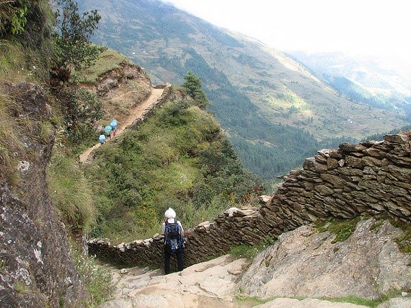
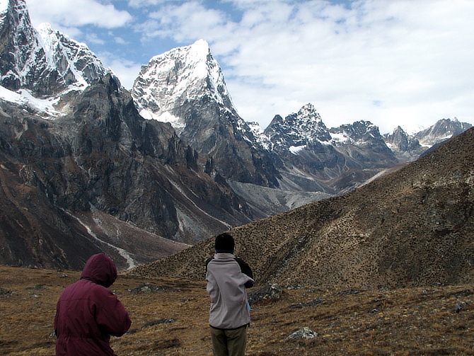
Key to Successful Hiking
We were told prior to starting the trek that the key to these higher elevations is to go sloooow. In reality we saw the effects of younger, physically stronger people, hiking too fast only to be forced to go back to the lower elevations to allow their bodies to acclimate.
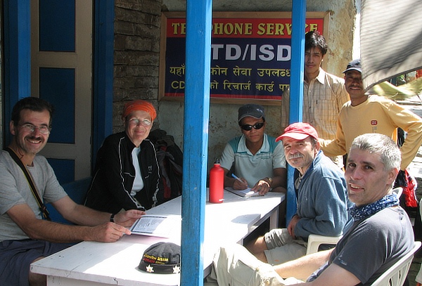
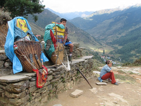
People Along the Way
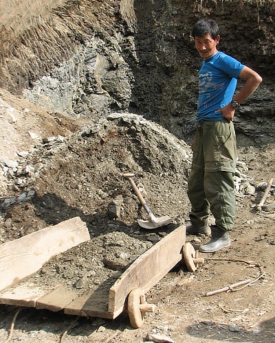
We were able to get to know several hiking groups as we frequently spent nights in the same lodging facility or ate lunches together. We also met a Nepalese Sherpa fellow that had been to the Mt. Everest summit three times.